Projects
-
PIPELINE RIGHT-OF-WAY TOPSOIL DETERMINATIONS
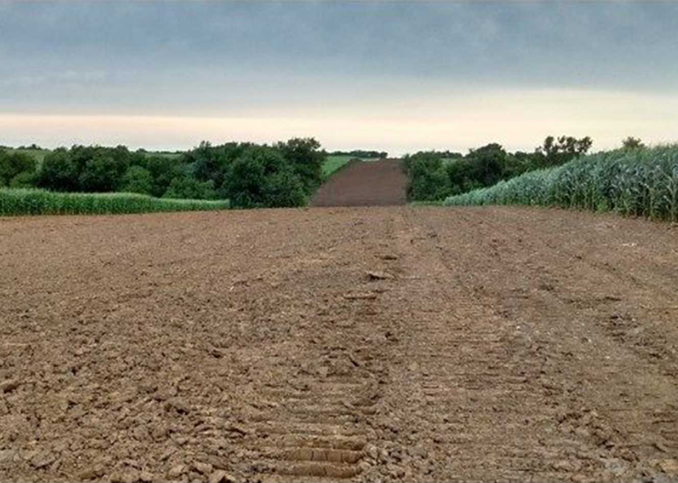
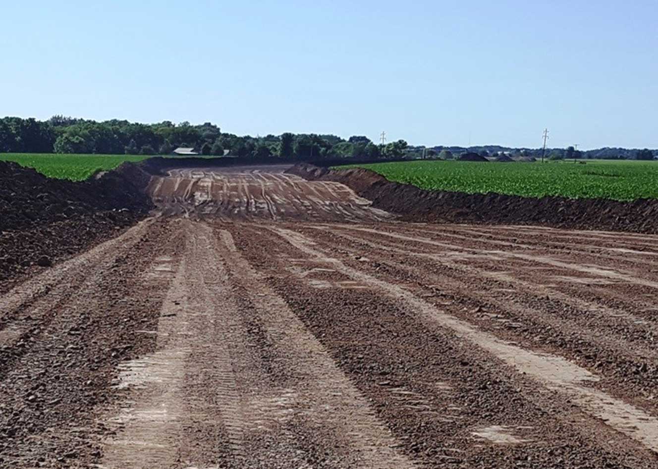
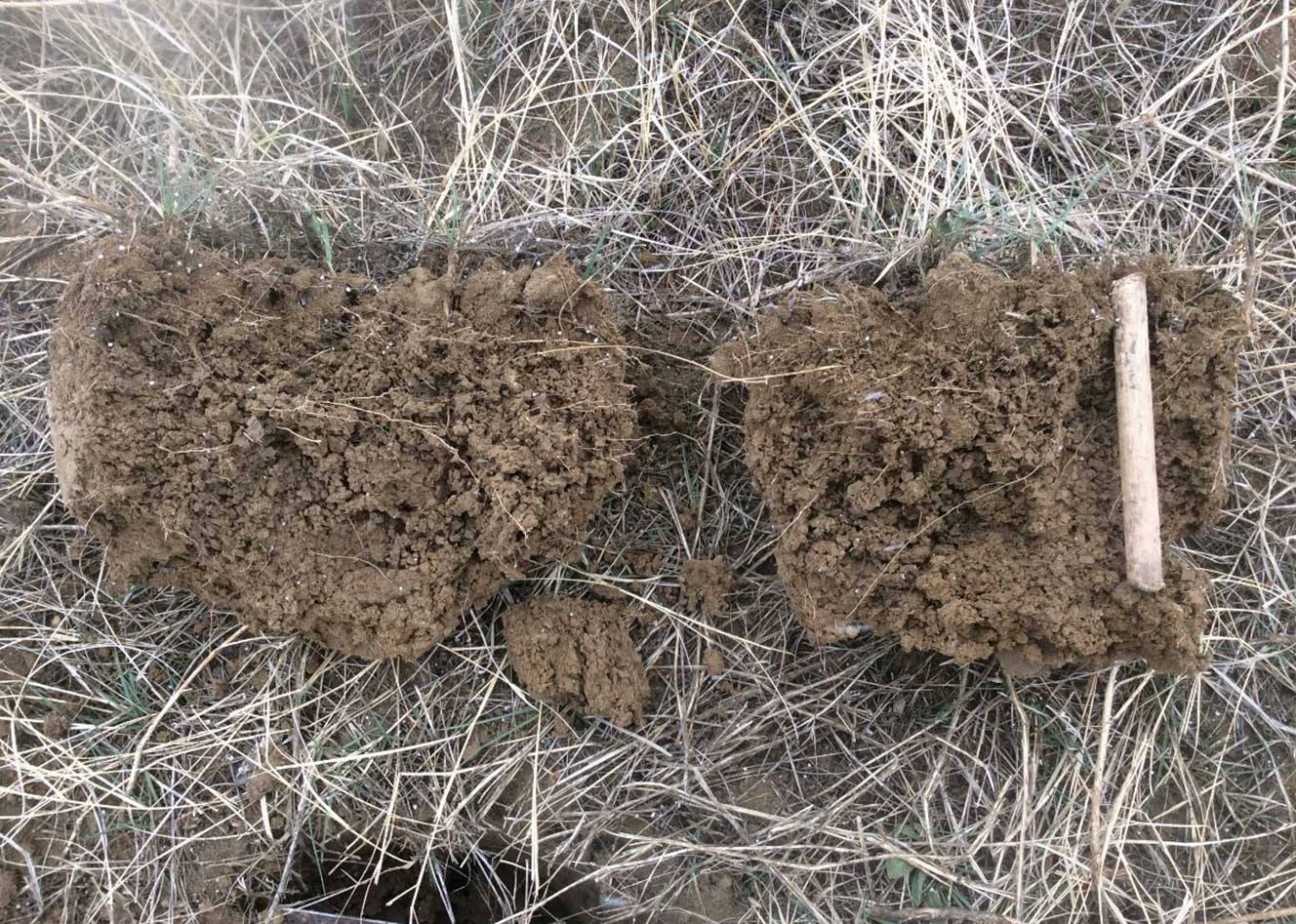
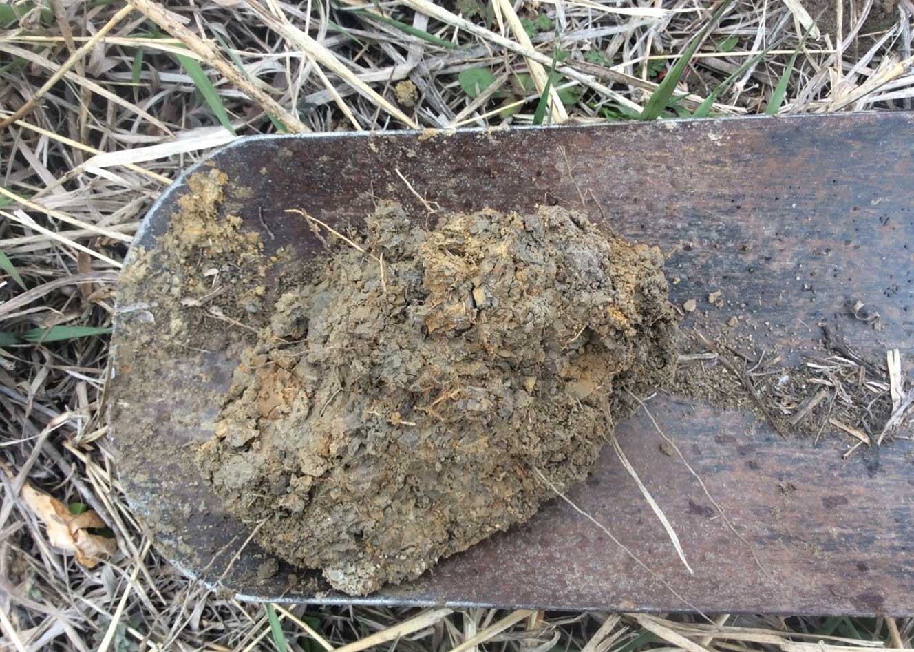
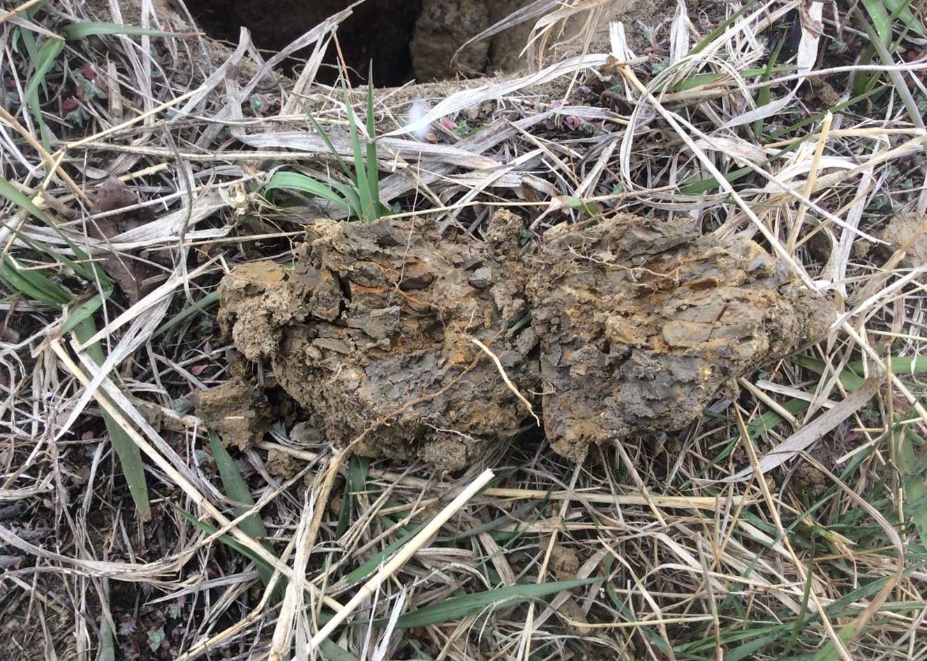
An interstate 1,172 mile 30-inch diameter pipeline is being constructed that will deliver crude oil from the North Dakota Bakken region through South Dakota, Iowa, and into Illinois. Prior to construction topsoil determination was required to reduce overall impacts to agricultural landscapes including erosion, compaction, topsoil loss, and soil horizon mixing. State, federal, and local regulatory requirements, landowner involvement, and client commitment to environmental protection are driving the necessary actions and mitigation plans to safely and efficiently construct the pipeline right-of-way (ROW) to achieve full compliance with the environmental laws, regulations, and standards.
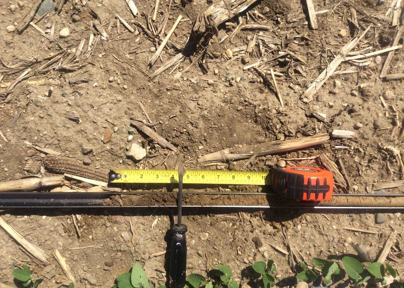
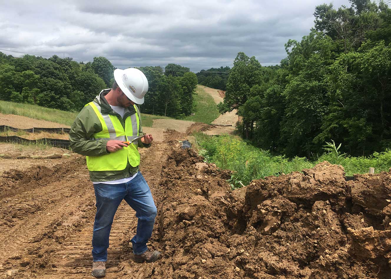
Duraroot conducted a comprehensive topsoil delineation for determining pre-construction topsoil depths to enhance soil salvage and post construction reclamation. Our team of Soil Scientists organized quickly to meet time-critical deadlines, delineating approximately 810 miles of the pipeline ROW with over 3,000 measurements being collected within a few months. Duraroot was responsible for collecting and analyzing topsoil data as well as the preparation of topsoil salvage recommendations. Innovative, cost effective, data collection allowed for field decisions to be made in real time while reducing the overall data management and reporting costs.
Duraroot’s involvement provided the client with the information to enhance the protection and conservation of valuable topsoil resources to maintain crop productivity. By delineating prime farmland soils, topsoil depths, and poor reclamation soils, reclamation limitations were identified and post reclamation success most likely enhanced. This ensures that the land can be returned to a productive, safe, and stable end land use following disturbance. Our team of Soil Scientists provided accurate, reliable data within a short timeframe that is reproducible and easily translated to field personnel during construction activities. The delineation provided will reduce reclamation costs while enhancing full restoration of agricultural landscapes and reducing topsoil loss. As well, the data can inform soil management efforts to minimize crop insurance claims for crop damage and reduced yields, which often result from improper topsoil preservation.
-
SOIL QUALITY MONITORING ALONG THE PURGATOIRE RIVER
The Colorado Department of Public Health and Environment (CDPHE) requires annual soil quality monitoring in accordance with Part 1, Section A.3 (i.e., Reporting Codes 21599 and 50008) of the Colorado Discharge Permit System (CDPS) to monitor the effects of coalbed methane (CBM) produced water discharges into the Purgatoire River on irrigated lands in southeastern Colorado.
The objective of soil monitoring is to preserve agronomic soil properties and irrigated crops downstream of discharge points from the application of CBM produced water containing naturally elevated salinity and sodicity levels. Elevated salinity and sodicity in irrigation waters may impair agronomic soil properties and reduce crop growth and productivity.
Annual soil monitoring is conducted on two fields receiving irrigation waters from the Purgatoire River downstream of the closest discharge point. Soil samples are collected using a truck-mounted, hydraulically powered Giddings soil probe two times a year, prior to irrigation activities and following irrigation activities, to establish current soil physicochemical properties and to proactively determine any deleterious effects on soil quality from the application of irrigation waters receiving CBM produced water discharges. A technical report is developed bi-annually, following each monitoring activity, to discuss monitoring results and any changes/trends in soil chemistry (i.e., soil salinity, soil sodicity). Soil technical reports are also prepared to address any remediation efforts that may be required upon the recognition that irrigation is impacting soil quality.
Soil quality monitoring is an ongoing effort to establish trends in soil chemistry from the application of CBM influenced irrigation water and to fulfill CDPHE-CDPS permitting requirements. Soil analytical results to date indicate minimal changes in soil chemistry from the application of CBM discharge receiving irrigation waters of the Purgatoire River.
-
AGRICULTURAL USE PROTECTION POLICY – ANNUAL MONITORING, POWDER RIVER BASIN (CAMPBELL AND JOHNSON COUNTIES) WYOMING
In 2006 the Wyoming Department of Environmental Quality (WYDEQ) – Water Quality Division (WQD) finalized the Agricultural Use Protection Policy (AUPP) requiring the annual monitoring of soil quality and crop productivity in areas throughout the Powder River Basin (PRB) of northeastern Wyoming receiving irrigation water containing coalbed methane (CBM) produced water discharges. The goal expressed in the Chapter 1, Section 20 standard of the Wyoming Water Quality Rules and Regulations is simply to “maintain surface water quality at a level that will continue to support the local agricultural uses that have developed around it.”
CBM produced water, a by-product of CBM gas extraction, is typically stored in on-channel reservoirs with releases to the channel when natural storm flows cause the on-channel reservoirs to overflow. The goal of annual monitoring is to protect agricultural uses of downstream soils from the potential degradative effects of irrigation water resources associated with saline/sodic CBM produced water discharges. Elevated salinity and sodicity in irrigation waters may impair agronomic soil properties and reduce crop growth and productivity.
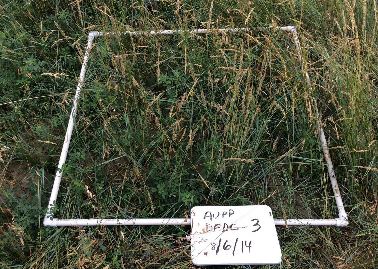
Annual soil and vegetation monitoring is conducted on 15 to 18 fields, located along seven tributaries of the Powder and the Little Powder Rivers. Agricultural productivity evaluations include assessing soil quality and vegetative properties including cover, diversity, and production data from irrigated fields downstream of CBM produced water discharge points. Selected fields are within stream floodplains and naturally or sub-irrigated.
Soil samples are collected using a truck-mounted, hydraulically powered Giddings soil probe to comply with regulatory requirements and to establish current soil physicochemical properties within crop rooting zones. Soil sample analytical results are also used to monitor trends in soil physicochemical properties and to proactively determine any deleterious effects on soil quality from the application of irrigation waters receiving CBM produced water discharges.
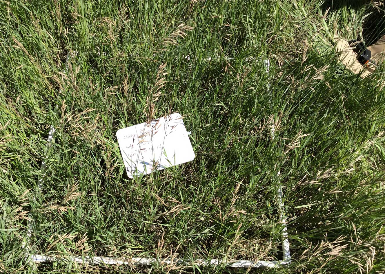
Vegetation data is collected by clipping frames along transects to estimate crop biomass, yield, and moisture content. Tissue analyses are conducted and include crude protein levels and nutrient analyses. Canopy cover estimates by species and lifeform are also collected to estimate vegetative cover and species composition over time.
Technical annual reports are provided for each drainage following monitoring activities to fulfill agency reporting requirements and to discuss monitoring results and any changes/trends in soil chemistry (i.e., soil salinity, soil sodicity). Monitoring results are evaluated by the agency and used for adjusting future monitoring frequency as needed.
-
AGRICULTURAL INSPECTION SERVICES FOR PIPELINE RIGHT-OF-WAY CONSTRUCTION
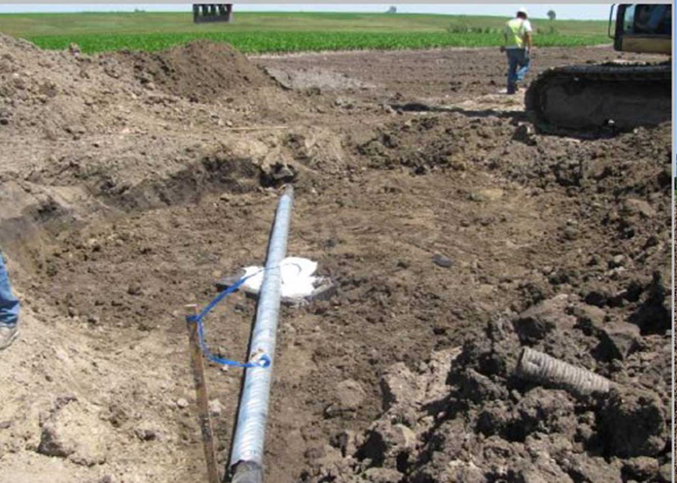
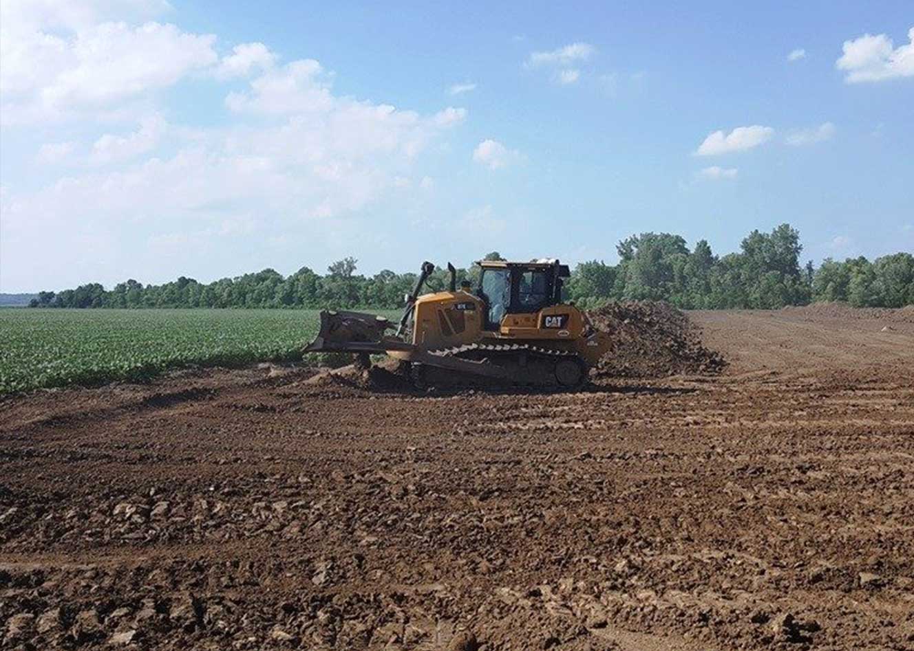
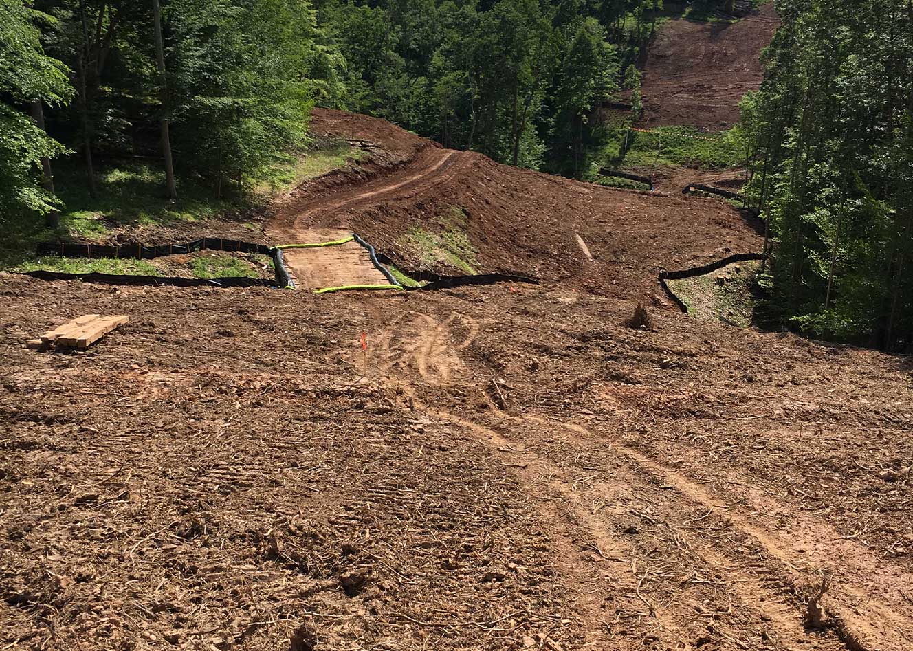
Duraroot was tasked to implement and manage an Agricultural Inspection (AI) program during active construction for a 1,172 mile 30-inch diameter crude oil pipeline originating in the Bakken oil field of northwestern North Dakota and traversing South Dakota, Iowa, and finally ending in south central Illinois. Construction of the pipeline right-of-way (ROW) provided our client a unique set of problems due to the location and sensitivity of the project. More than 90% of this highly visible project is located in agricultural land. In addition, multiple agricultural mitigation agreements and plans have been established furthering the complexity of the project.
In order to meet the challenges presented by ROW construction, Duraroot developed a pre-construction training program uniquely tailored to each set of agreements based upon geographical locations for project personnel. Duraroot Senior Scientists provided the trainings in conjunction with project kick-off meetings to maximize the audience, also giving individual trainings to Duraroot’s agricultural inspectors on the project. Proper training of both the construction personnel and the inspection staff is bolstered by Duraroot’s construction and agricultural specialists providing back-office support throughout the duration of the project.
ROW construction provides an additional set of challenges made even more unique by the fluid nature of day-to-day activities of pipeline installation. Duraroot provided contractors with one agricultural inspector for each delineated spread of the project. A Duraroot Agricultural Inspector’s primary responsibility is to provide agronomic and soil science technical support to the project team and to help the Land Agents discuss potential issues with Landowners upon request. Agricultural Inspectors were also tasked to assist the project Environmental Inspectors with stormwater inspections and other environmental issues and work with construction crews to provide ideas on construction techniques that may lead to more efficient agricultural land reclamation.
Duraroot’s expertise with agricultural issues and their extensive background in linear pipeline construction provided the client with a level of industry professionalism unmatched in the United States. Our ability to adapt and problem solve has made Duraroot’s role in the project vital to the eventual reclamation and restoration of some of the country’s most fertile agricultural grounds. Keeping the contractor moving while avoiding compliance issues has made for a more efficient construction effort, helping to leave a positive landowner and agency legacy for our client.
-
ELDORADO COMMUNITY PARK – SUPERIOR, COLORADO
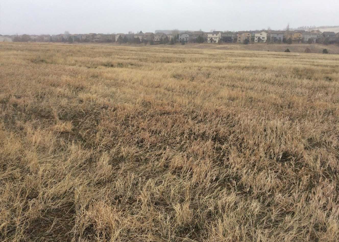
The Town of Superior, Colorado, desired to establish a sod lawn area in one of their community parks for resident enjoyment and recreation. The location reserved for sod lawn establishment formerly served as a disposal location for excavated basement stratum from an adjacent subdivision. The underlying soils consisted of heavy clays with high shrink-swell capacity and low drainage capabilities.
The objective was to design a soil matrix specific for the sod lawn portion of the park that would improve soil drainage, while providing a suitable growth medium for sod grass establishment. The location soils were evaluated and soil samples were collected to establish topsoil depths for salvage and later incorporation into the soil matrix design. In-situ topsoil was recommended for salvage and later use to preserve desirable soil properties such as organic matter and soil biota that would improve sod lawn establishment. Preservation of these materials also reduces the requirements of topsoil and soil amendment import, thus reducing overall costs for the community.
Topsoil resources were incorporated into a soil matrix design including layers of coarser textured soil materials (sand) to improve soil drainage and to reduce the effects of high shrink-swell soils on surface cracking and vegetation damage. Improved soil drainage is key to providing a fast-drying lawn area for resident use and enjoyment; however, desirable soil constituents that are necessary for plant growth and development (i.e., organic matter, soil nutrients, soil biota) must also be available.
The ability to salvage and re-incorporate topsoil resources already available on location provided the town great cost savings through reduced trucking and hauling costs of materials and the need for purchasing and importing topsoil and soil amendments from off-site sources.
“Duraroot, through their knowledge and expertise, has opened the door for the Town to understand our planting and soil preparation techniques at a deeper level which saves money in the long run.”
– Patrick Hammer,Town of Superior and President of the CPRA
-
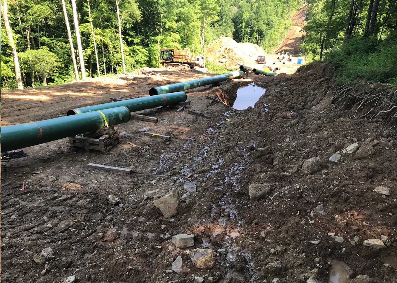
CONFIDENTIAL NATURAL GAS PIPELINE PROJECT IN WEST VIRGINIA
Duraroot’s team of scientists and reclamation experts combine an innovative approach with cost-efficient best management practices to promote reclamation success. One of our key services includes comprehensive Soil Fertility Assessments. These assessments identify the appropriate soil amendments necessary for reclamation success.
DURAROOT STAFF
- Certified Professional Soil Scientists, Certified Professional Agronomists, FERC Regulatory Specialists
PLANNING/PERMITTING ASSISTANCE
- Review project specifications from FERC/Other Federal & State Agencies
- Provide transparent agency negotiations for faster permit releases
SOIL SAMPLE COLLECTION & ANALYSIS
- Use a team who understands pipeline construction
- Collect and analyze soil samples based on project needs
RESULTS COMPARISON
- Compare recommendations with project team before finalizing reports
SITE-SPECIFIC RECOMMENDATIONS
- Based on the soil’s chemical and physical characteristics
MAP BOOKS BY MILEPOST OR STATION NUMBER
- Provide clear application for environmental and construction crews
CONSTRUCTION ASSISTANCE
- Provide on-going construction support, as site conditions may change
SUCCESSFUL reclamation is achieved by:
- Understanding soil characteristics and what promotes seed germination.
- Choosing vegetative species that are adapted for site-specific conditions and land uses.
- Applying appropriate amendments and fertilizers to promote faster growth.
- Planting recommended seed mixes when the climate is optimal.
- Working with contractors who specialize in reclamation.


